


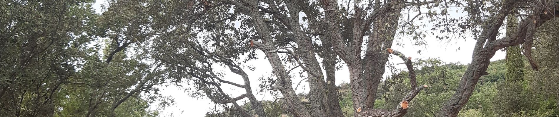
Reynès, chemin des mas ... pas terrible

stef789
User GUIDE
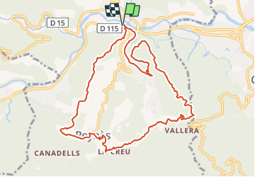

Length
12.3 km

Max alt
332 m

Uphill gradient
378 m
Km-Effort
17.3 km

Min alt
149 m

Downhill gradient
378 m
Boucle
Yes
Creation date :
2021-07-25 11:12:20.213
Updated on :
2021-07-25 15:54:39.294
4h40
Difficulty : Difficult

FREE GPS app for hiking
 SityTrail
IGN / Geographical institutes
SityTrail Plus
The world is yours!
About
Trail Walking of 12.3 km to be discovered at Occitania, Pyrénées-Orientales, Reynès. This trail is proposed by stef789.
Photos


Positioning
Country:
France
Region :
Occitania
Department/Province :
Pyrénées-Orientales
Municipality :
Reynès
Location:
Unknown
Start:(Dec)
Start:(UTM)
476532 ; 4704829 (31T) N.
Comments