


HTA Estissac

DaVinci
User
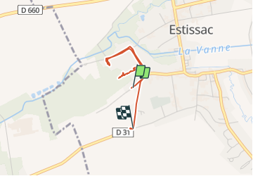

Length
2.6 km

Max alt
138 m

Uphill gradient
15 m
Km-Effort
2.8 km

Min alt
128 m

Downhill gradient
7 m
Boucle
No
Creation date :
2021-07-28 08:43:46.841
Updated on :
2021-07-28 09:09:55.112
25m
Difficulty : Easy

FREE GPS app for hiking
 SityTrail
IGN / Geographical institutes
SityTrail Plus
The world is yours!
About
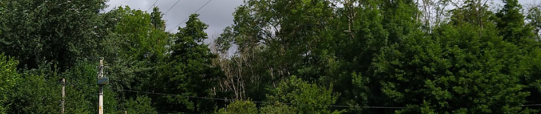
Trail Walking of 2.6 km to be discovered at Grand Est, Aube, Estissac. This trail is proposed by DaVinci.
Photos


Positioning
Country:
France
Region :
Grand Est
Department/Province :
Aube
Municipality :
Estissac
Location:
Unknown
Start:(Dec)
Start:(UTM)
559374 ; 5346109 (31U) N.
Comments