


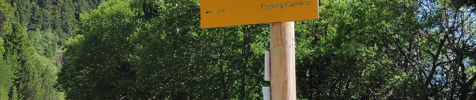
col du Barbier, pont de seteria, retour plan d'Amont

gdela
User

Length
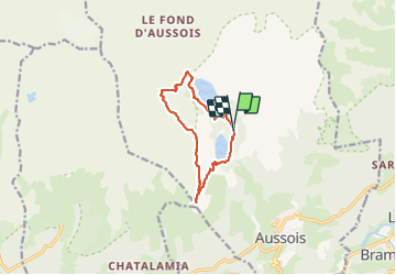
10.6 km

Max alt
2425 m

Uphill gradient
566 m
Km-Effort
18.1 km

Min alt
1932 m

Downhill gradient
572 m
Boucle
Yes
Creation date :
2021-07-29 08:47:30.29
Updated on :
2021-07-29 19:57:23.616
3h37
Difficulty : Difficult

FREE GPS app for hiking
 SityTrail
IGN / Geographical institutes
SityTrail Plus
The world is yours!
About
Trail Walking of 10.6 km to be discovered at Auvergne-Rhône-Alpes, Savoy, Aussois. This trail is proposed by gdela.
Photos


Positioning
Country:
France
Region :
Auvergne-Rhône-Alpes
Department/Province :
Savoy
Municipality :
Aussois
Location:
Unknown
Start:(Dec)
Start:(UTM)
321605 ; 5013441 (32T) N.
Comments