


gr tour Nancy 28/07/21
© OpenStreetMap contributors


3h03
Difficulty : Difficult


Length
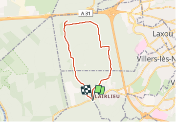
12.4 km
Max alt
386 m
Uphill gradient
197 m
Km-Effort
15 km
Min alt
285 m
Downhill gradient
198 m
Boucle
Yes
Creation date :
2021-07-29 11:27:21.098
Updated on :
2021-07-31 08:25:36.842
3h03
Difficulty : Difficult
FREE GPS app for hiking
 SityTrail
IGN / Geographical institutes
SityTrail Plus
The world is yours!
About
Trail Walking of 12.4 km to be discovered at Grand Est, Meurthe-et-Moselle, Chaligny. This trail is proposed by jerome-dupont@laposte.net.
Description
bon chemin,tout en foret
Positioning
Country:
France
Region :
Grand Est
Department/Province :
Meurthe-et-Moselle
Municipality :
Chaligny
Location:
Unknown
Start:(Dec)
Start:(UTM)
286665 ; 5393004 (32U) N.
Comments