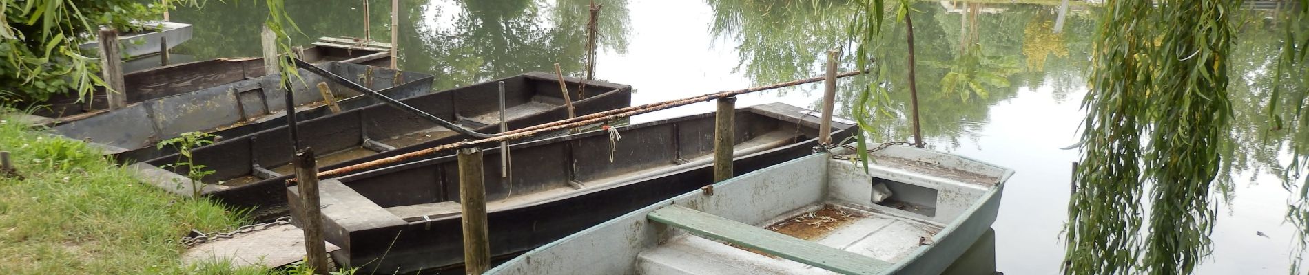
Marais de Bourges 6km

thonyc
User GUIDE


Length
5.7 km

Max alt
131 m

Uphill gradient
32 m
Km-Effort
6.1 km

Min alt
121 m

Downhill gradient
33 m
Boucle
Yes
Creation date :
2021-07-31 11:23:11.154
Updated on :
2021-08-04 06:52:49.345
2h00
Difficulty : Easy

FREE GPS app for hiking
 SityTrail
IGN / Geographical institutes
SityTrail Plus
The world is yours!
About
Trail Walking of 5.7 km to be discovered at Centre-Loire Valley, Cher, Bourges. This trail is proposed by thonyc.
Photos


Positioning
Country:
France
Region :
Centre-Loire Valley
Department/Province :
Cher
Municipality :
Bourges
Location:
Unknown
Start:(Dec)
Start:(UTM)
454771 ; 5214680 (31T) N.
Comments