


Anlier 310721

guyernage25
User
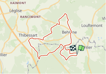

Length
17.5 km

Max alt
490 m

Uphill gradient
343 m
Km-Effort
22 km

Min alt
402 m

Downhill gradient
347 m
Boucle
Yes
Creation date :
2021-07-31 07:19:33.434
Updated on :
2021-08-01 06:16:03.953
4h53
Difficulty : Easy

FREE GPS app for hiking
 SityTrail
IGN / Geographical institutes
SityTrail Plus
The world is yours!
About
Trail Walking of 17.5 km to be discovered at Wallonia, Luxembourg, Habay. This trail is proposed by guyernage25.
Description
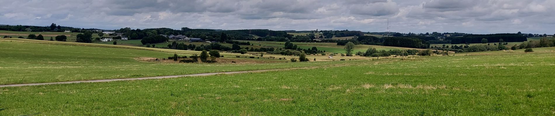
belle rando forestiere
Photos


Positioning
Country:
Belgium
Region :
Wallonia
Department/Province :
Luxembourg
Municipality :
Habay
Location:
Habay-la-Neuve
Start:(Dec)
Start:(UTM)
687949 ; 5516022 (31U) N.
Comments
A envisager;