


francette j1 depart mayenne

werth
User

Length
55 km

Max alt
110 m

Uphill gradient
592 m
Km-Effort
63 km

Min alt
34 m

Downhill gradient
662 m
Boucle
No
Creation date :
2021-08-01 09:39:02.343
Updated on :
2021-08-26 09:17:11.454
5h44
Difficulty : Medium

FREE GPS app for hiking
 SityTrail
IGN / Geographical institutes
SityTrail Plus
The world is yours!
About
Trail Bicycle tourism of 55 km to be discovered at Pays de la Loire, Mayenne, Mayenne. This trail is proposed by werth.
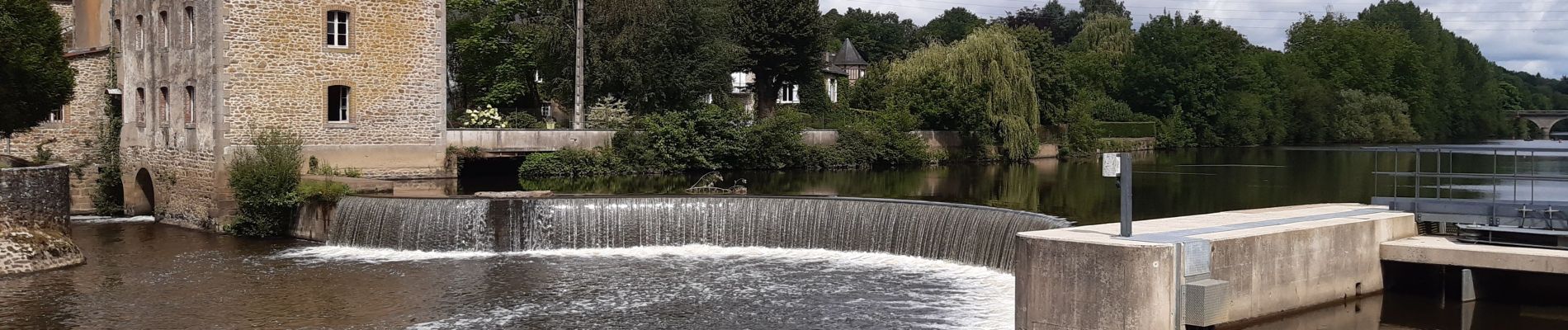
Photos


Positioning
Country:
France
Region :
Pays de la Loire
Department/Province :
Mayenne
Municipality :
Mayenne
Location:
Unknown
Start:(Dec)
Start:(UTM)
676586 ; 5353005 (30U) N.
Comments