


rando suf le mpny guillaume montée par le torrent de Marthe descentr par la route forestière de bois de Vezin

stef789
User GUIDE
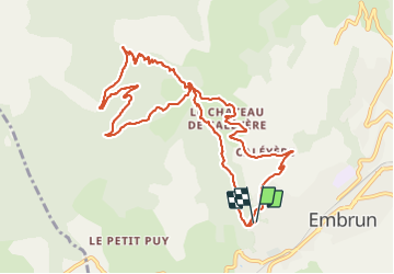

Length
12.5 km

Max alt
1667 m

Uphill gradient
716 m
Km-Effort
22 km

Min alt
953 m

Downhill gradient
714 m
Boucle
Yes
Creation date :
2021-08-05 10:37:06.406
Updated on :
2021-08-05 17:19:15.998
4h40
Difficulty : Very difficult

FREE GPS app for hiking
 SityTrail
IGN / Geographical institutes
SityTrail Plus
The world is yours!
About
Trail Walking of 12.5 km to be discovered at Provence-Alpes-Côte d'Azur, Hautes-Alpes, Embrun. This trail is proposed by stef789.
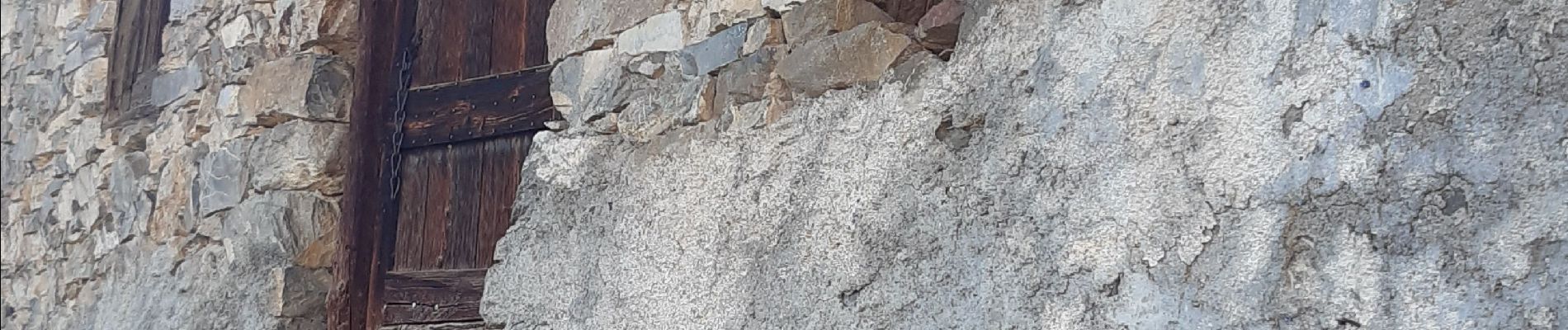
Photos


21 photos in total. Please click on a photo to see them all in the gallery.
Positioning
Country:
France
Region :
Provence-Alpes-Côte d'Azur
Department/Province :
Hautes-Alpes
Municipality :
Embrun
Location:
Unknown
Start:(Dec)
Start:(UTM)
300060 ; 4937597 (32T) N.
Comments