


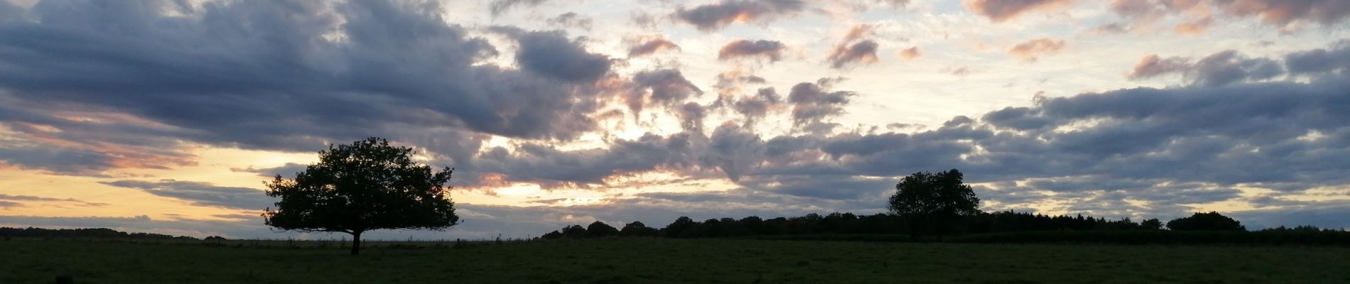
taillis de saules

jbo1
User
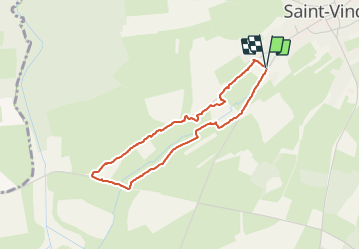

Length
3.1 km

Max alt
360 m

Uphill gradient
23 m
Km-Effort
3.4 km

Min alt
340 m

Downhill gradient
21 m
Boucle
Yes
Creation date :
2021-08-06 18:34:26.81
Updated on :
2021-08-06 19:20:27.909
52m
Difficulty : Easy

FREE GPS app for hiking
 SityTrail
IGN / Geographical institutes
SityTrail Plus
The world is yours!
About
Trail Walking of 3.1 km to be discovered at Wallonia, Luxembourg, Tintigny. This trail is proposed by jbo1.
Photos


Positioning
Country:
Belgium
Region :
Wallonia
Department/Province :
Luxembourg
Municipality :
Tintigny
Location:
Unknown
Start:(Dec)
Start:(UTM)
678173 ; 5505333 (31U) N.
Comments