


lac de l hivernet via l aiguille, retour par pierre pointue

stef789
User GUIDE


Length
9.4 km

Max alt
2392 m

Uphill gradient
791 m
Km-Effort
20 km

Min alt
1597 m

Downhill gradient
799 m
Boucle
Yes
Creation date :
2021-08-08 10:43:57.949
Updated on :
2021-08-08 17:26:09.36
4h38
Difficulty : Difficult

FREE GPS app for hiking
 SityTrail
IGN / Geographical institutes
SityTrail Plus
The world is yours!
About
Trail Walking of 9.4 km to be discovered at Provence-Alpes-Côte d'Azur, Hautes-Alpes, Embrun. This trail is proposed by stef789.
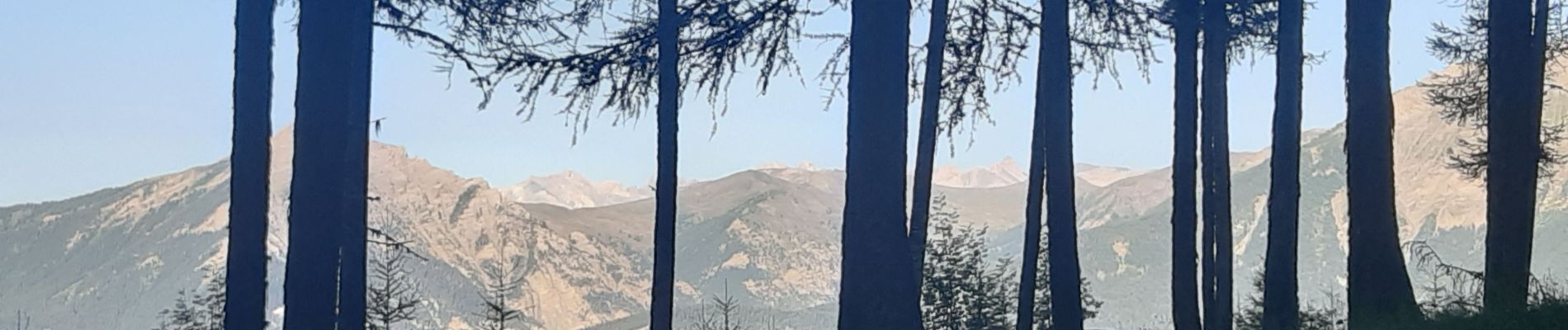
Photos


22 photos in total. Please click on a photo to see them all in the gallery.
Positioning
Country:
France
Region :
Provence-Alpes-Côte d'Azur
Department/Province :
Hautes-Alpes
Municipality :
Embrun
Location:
Unknown
Start:(Dec)
Start:(UTM)
299619 ; 4940899 (32T) N.
Comments