


La Pierre Druidique PR40

Gegetop
User
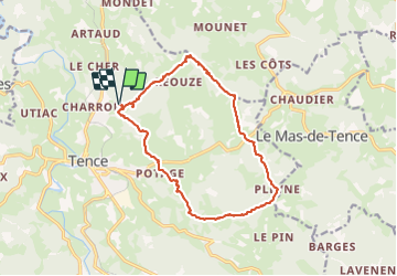

Length
15.8 km

Max alt
1019 m

Uphill gradient
371 m
Km-Effort
21 km

Min alt
875 m

Downhill gradient
371 m
Boucle
Yes
Creation date :
2021-08-11 09:34:10.707
Updated on :
2021-08-11 13:56:37.821
3h40
Difficulty : Medium

FREE GPS app for hiking
 SityTrail
IGN / Geographical institutes
SityTrail Plus
The world is yours!
About
Trail Walking of 15.8 km to be discovered at Auvergne-Rhône-Alpes, Haute-Loire, Tence. This trail is proposed by Gegetop.
Description
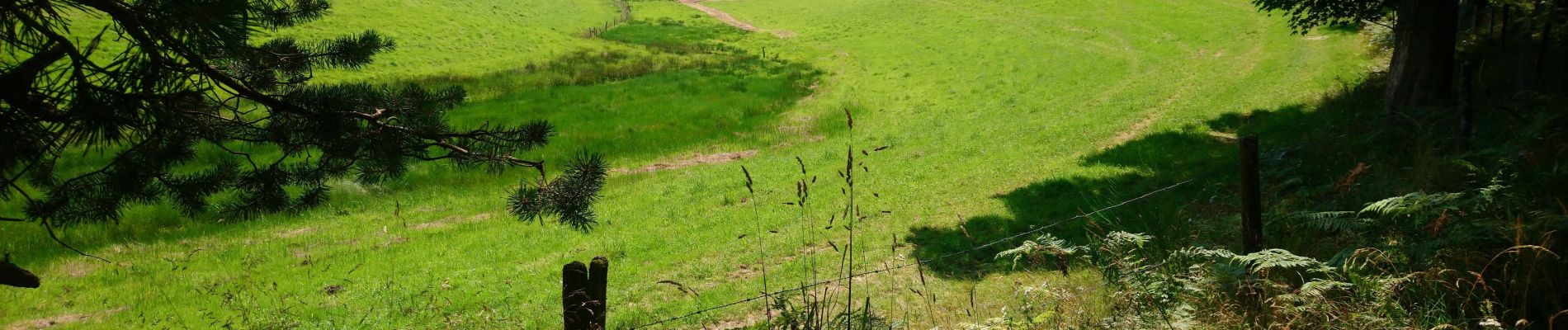
Balade en forêt 🐿
Photos

Positioning
Country:
France
Region :
Auvergne-Rhône-Alpes
Department/Province :
Haute-Loire
Municipality :
Tence
Location:
Unknown
Start:(Dec)
Start:(UTM)
602179 ; 4998028 (31T) N.
Comments