


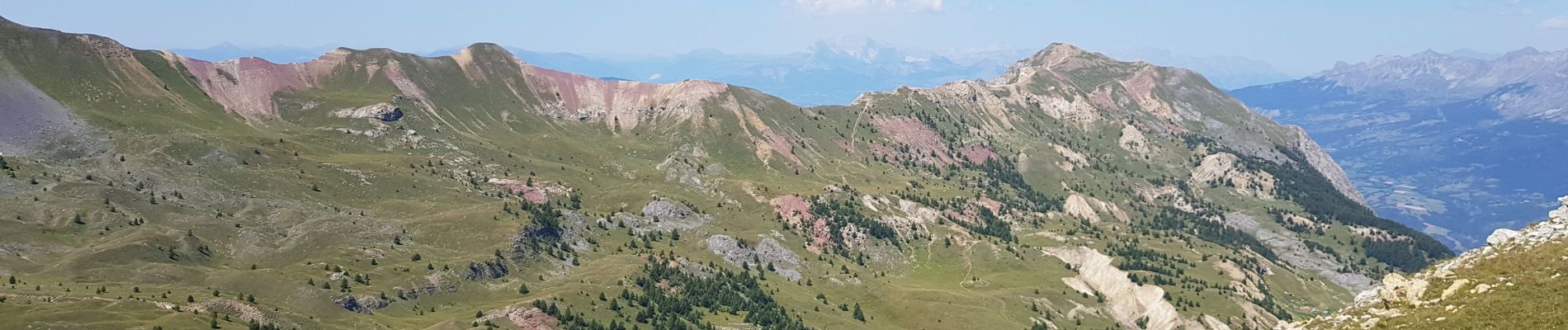
col de la rousse et pic de charance

guariso
User


6h07
Difficulty : Difficult

FREE GPS app for hiking
 SityTrail
IGN / Geographical institutes
SityTrail Plus
The world is yours!
About
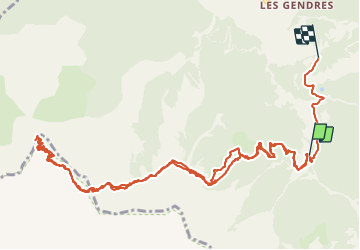
Trail Walking of 16.1 km to be discovered at Provence-Alpes-Côte d'Azur, Hautes-Alpes, Crots. This trail is proposed by guariso.
Description
belle ballade sur une journée. montée en voiture sur chemin caillouteux.
départ facile puis montée vers le col. poursuive ensuite vers le pic. vue magnifiques sur les écrins et les massifs alentours.
Photos


Positioning
Comments