


Chenereilles, Lac de la Valette

Gegetop
User
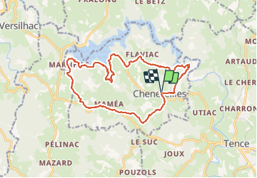

Length
18.7 km

Max alt
920 m

Uphill gradient
391 m
Km-Effort
24 km

Min alt
811 m

Downhill gradient
391 m
Boucle
Yes
Creation date :
2021-08-12 09:33:55.45
Updated on :
2021-08-12 15:29:42.413
4h15
Difficulty : Medium

FREE GPS app for hiking
 SityTrail
IGN / Geographical institutes
SityTrail Plus
The world is yours!
About
Trail Walking of 18.7 km to be discovered at Auvergne-Rhône-Alpes, Haute-Loire, Chenereilles. This trail is proposed by Gegetop.
Description
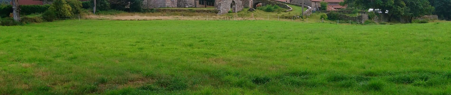
Très belle randonnée alternant forêts et pâturages.
Photos


Positioning
Country:
France
Region :
Auvergne-Rhône-Alpes
Department/Province :
Haute-Loire
Municipality :
Chenereilles
Location:
Unknown
Start:(Dec)
Start:(UTM)
598530 ; 4998552 (31T) N.
Comments