


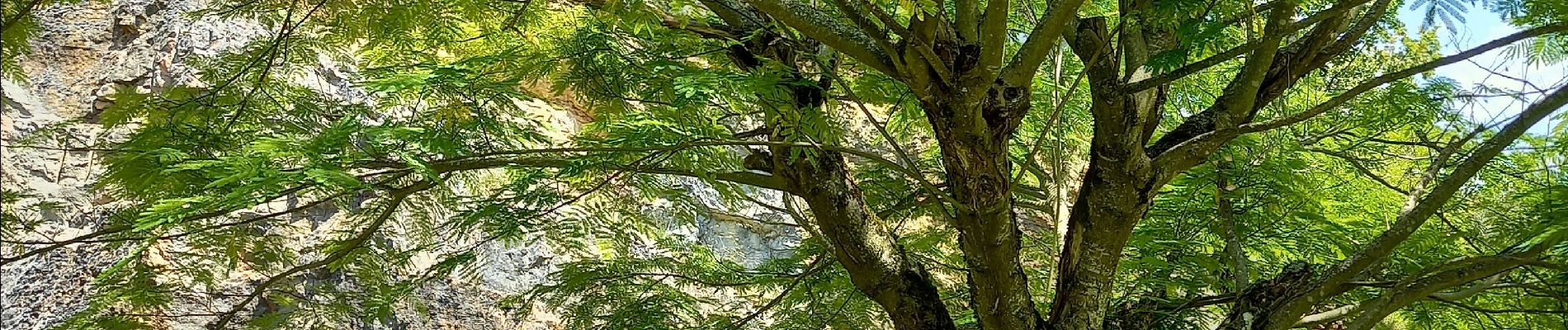
Royer col du Navois (ombragé) page 93

grasgilbert
User
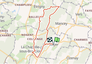

Length
17.3 km

Max alt
502 m

Uphill gradient
525 m
Km-Effort
24 km

Min alt
269 m

Downhill gradient
525 m
Boucle
Yes
Creation date :
2021-08-12 07:05:03.704
Updated on :
2021-08-12 16:10:35.877
5h41
Difficulty : Difficult

FREE GPS app for hiking
 SityTrail
IGN / Geographical institutes
SityTrail Plus
The world is yours!
About
Trail Walking of 17.3 km to be discovered at Bourgogne-Franche-Comté, Saône-et-Loire, Royer. This trail is proposed by grasgilbert.
Photos
 page 93 - Photo 1")
Positioning
Country:
France
Region :
Bourgogne-Franche-Comté
Department/Province :
Saône-et-Loire
Municipality :
Royer
Location:
Unknown
Start:(Dec)
Start:(UTM)
639736 ; 5157304 (31T) N.
Comments