


lac du lauzet

natsukeru
User
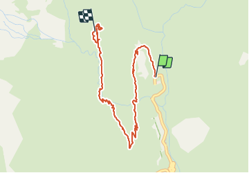

Length
4.7 km

Max alt
2031 m

Uphill gradient
415 m
Km-Effort
8.9 km

Min alt
1633 m

Downhill gradient
33 m
Boucle
No
Creation date :
2021-08-18 15:07:09.792
Updated on :
2021-08-19 07:40:16.066
3h49
Difficulty : Medium

FREE GPS app for hiking
 SityTrail
IGN / Geographical institutes
SityTrail Plus
The world is yours!
About
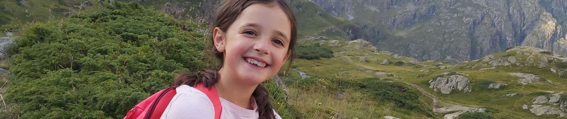
Trail Walking of 4.7 km to be discovered at Provence-Alpes-Côte d'Azur, Hautes-Alpes, La Chapelle-en-Valgaudémar. This trail is proposed by natsukeru.
Photos


Positioning
Country:
France
Region :
Provence-Alpes-Côte d'Azur
Department/Province :
Hautes-Alpes
Municipality :
La Chapelle-en-Valgaudémar
Location:
Unknown
Start:(Dec)
Start:(UTM)
285122 ; 4968927 (32T) N.
Comments