


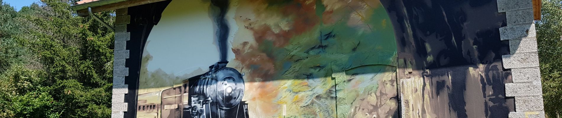
voie verte Duniere Tracol

bena42
User
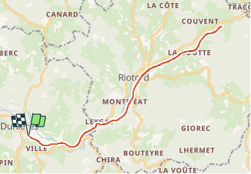

Length
21 km

Max alt
948 m

Uphill gradient
339 m
Km-Effort
25 km

Min alt
781 m

Downhill gradient
339 m
Boucle
Yes
Creation date :
2021-08-20 08:57:01.621
Updated on :
2021-08-20 12:46:17.542
3h48
Difficulty : Very easy

FREE GPS app for hiking
 SityTrail
IGN / Geographical institutes
SityTrail Plus
The world is yours!
About
Trail Mountain bike of 21 km to be discovered at Auvergne-Rhône-Alpes, Haute-Loire, Dunières. This trail is proposed by bena42.
Photos


Positioning
Country:
France
Region :
Auvergne-Rhône-Alpes
Department/Province :
Haute-Loire
Municipality :
Dunières
Location:
Unknown
Start:(Dec)
Start:(UTM)
605979 ; 5007336 (31T) N.
Comments