


parc château Chantilly

NESTOR2714
User
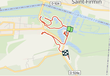

Length
4.7 km

Max alt
59 m

Uphill gradient
73 m
Km-Effort
5.7 km

Min alt
37 m

Downhill gradient
58 m
Boucle
No
Creation date :
2021-08-22 12:23:00.299
Updated on :
2021-08-22 15:30:12.621
1h31
Difficulty : Easy

FREE GPS app for hiking
 SityTrail
IGN / Geographical institutes
SityTrail Plus
The world is yours!
About
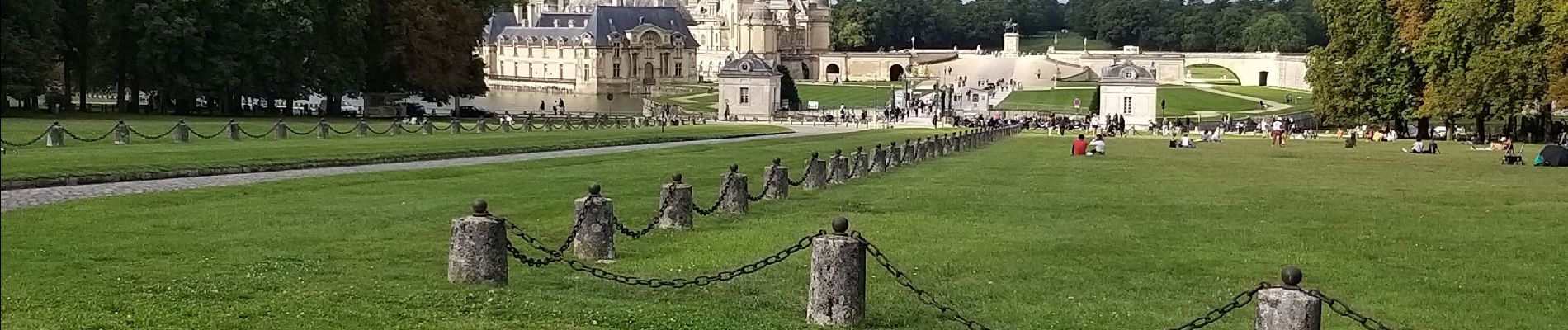
Trail Walking of 4.7 km to be discovered at Hauts-de-France, Oise, Chantilly. This trail is proposed by NESTOR2714.
Photos


Positioning
Country:
France
Region :
Hauts-de-France
Department/Province :
Oise
Municipality :
Chantilly
Location:
Unknown
Start:(Dec)
Start:(UTM)
462533 ; 5449055 (31U) N.
Comments