


Le PR8 de Meudon à Suresnes

c.chehere
User


5h06
Difficulty : Easy

FREE GPS app for hiking
 SityTrail
IGN / Geographical institutes
SityTrail Plus
The world is yours!
About
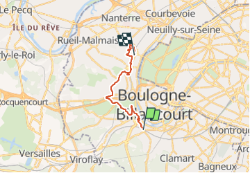
Trail Walking of 15.3 km to be discovered at Ile-de-France, Hauts-de-Seine, Meudon. This trail is proposed by c.chehere.
Description
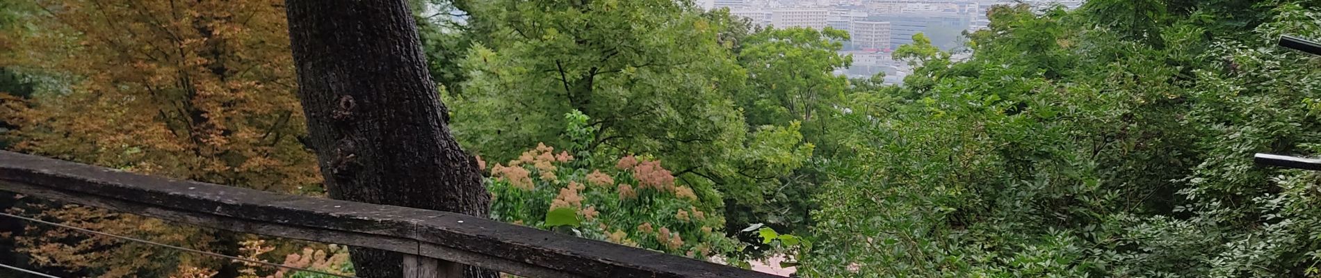
Départ depuis la station "Bellevue" à Meudon jusqu'à la station T2 "Suresnes Lonchamps".
Traversée de St Cloud sans grand intérêt, compensée par la traversée du parc de St Cloud et les alentours du mont Valérien.
Photos


21 photos in total. Please click on a photo to see them all in the gallery.
Positioning
Comments