


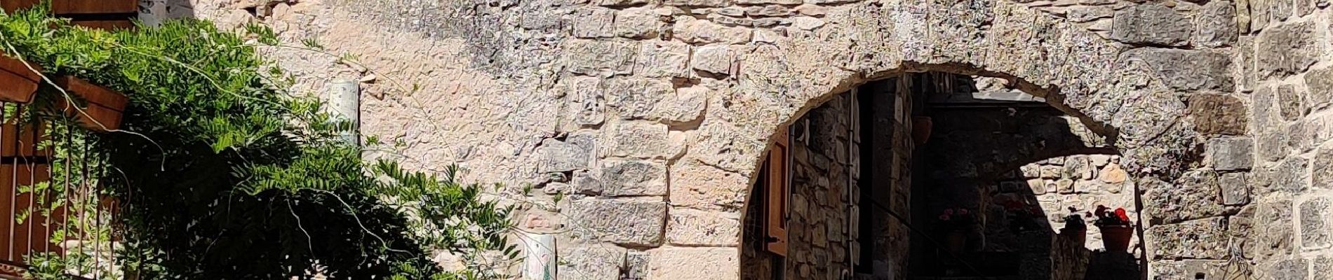
Cantobre 31-08-21

nolsim
User
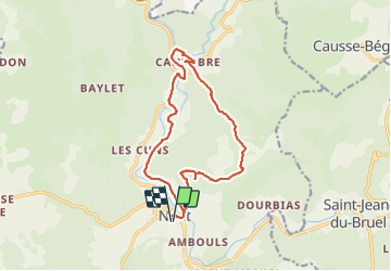

Length
15.5 km

Max alt
861 m

Uphill gradient
593 m
Km-Effort
23 km

Min alt
449 m

Downhill gradient
593 m
Boucle
Yes
Creation date :
2021-08-31 06:35:24.817
Updated on :
2021-08-31 13:28:39.263
4h14
Difficulty : Medium

FREE GPS app for hiking
 SityTrail
IGN / Geographical institutes
SityTrail Plus
The world is yours!
About
Trail Walking of 15.5 km to be discovered at Occitania, Aveyron, Nant. This trail is proposed by nolsim.
Description
Super vue depuis le Roc Nantais. Cantobre est un joli petit village
Photos


Positioning
Country:
France
Region :
Occitania
Department/Province :
Aveyron
Municipality :
Nant
Location:
Unknown
Start:(Dec)
Start:(UTM)
524110 ; 4874267 (31T) N.
Comments