


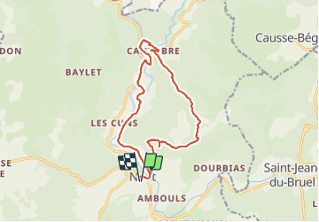

13.5 km | 15.6 km-effort


User


FREE GPS app for hiking
 SityTrail
IGN / Geographical institutes
SityTrail World
The world is yours!
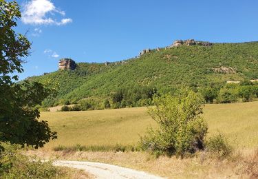
Trail Walking of 15.5 km to be discovered at Occitania, Aveyron, Nant. This trail is proposed by nolsim.
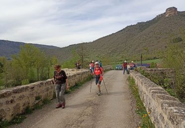
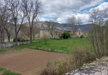
Super vue depuis le Roc Nantais. Cantobre est un joli petit village


Walking
Walking
Walking

Walking

Walking
Walking

Walking

Walking