


Col de Fontfroide - Les Bourdils

PiloudeBamako
User
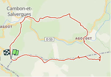

Length
12.9 km

Max alt
1067 m

Uphill gradient
428 m
Km-Effort
18.6 km

Min alt
876 m

Downhill gradient
426 m
Boucle
Yes
Creation date :
2021-09-02 07:55:44.0
Updated on :
2021-10-16 11:10:37.327
4h18
Difficulty : Medium

FREE GPS app for hiking
 SityTrail
IGN / Geographical institutes
SityTrail Plus
The world is yours!
About
Trail Walking of 12.9 km to be discovered at Occitania, Hérault, Cambon-et-Salvergues. This trail is proposed by PiloudeBamako.
Description
Rejoindre Cambon depuis le col de Fontfroide.
Agoudet. Les Bourdils. Col de la Bastide.
Retour au col de Fontfroide par la piste des crêtes.
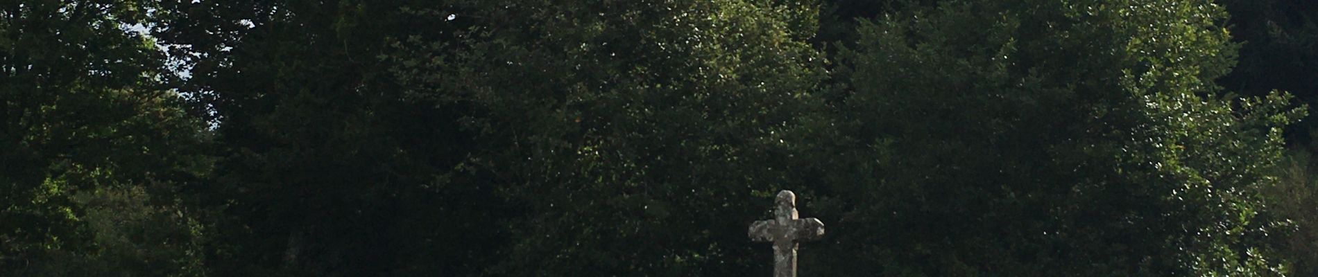
Photos


Positioning
Country:
France
Region :
Occitania
Department/Province :
Hérault
Municipality :
Cambon-et-Salvergues
Location:
Unknown
Start:(Dec)
Start:(UTM)
487980 ; 4827634 (31T) N.
Comments