


Gashney_le petit Hohneck

lemuid
User
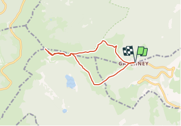

Length
6 km

Max alt
1348 m

Uphill gradient
363 m
Km-Effort
10.8 km

Min alt
991 m

Downhill gradient
363 m
Boucle
Yes
Creation date :
2021-09-03 11:41:55.011
Updated on :
2021-09-03 11:43:44.669
2h27
Difficulty : Medium

FREE GPS app for hiking
 SityTrail
IGN / Geographical institutes
SityTrail Plus
The world is yours!
About
Trail Walking of 6 km to be discovered at Grand Est, Haut-Rhin, Stosswihr. This trail is proposed by lemuid.
Positioning
Country:
France
Region :
Grand Est
Department/Province :
Haut-Rhin
Municipality :
Stosswihr
Location:
Unknown
Start:(Dec)
Start:(UTM)
354421 ; 5321974 (32U) N.
Comments