


Mars la Tour

PhilippeC54
User

Length
76 km

Max alt
311 m

Uphill gradient
584 m
Km-Effort
84 km

Min alt
166 m

Downhill gradient
585 m
Boucle
Yes
Creation date :
2021-09-03 11:19:39.993
Updated on :
2021-09-03 15:38:06.037
3h28
Difficulty : Easy

FREE GPS app for hiking
 SityTrail
IGN / Geographical institutes
SityTrail Plus
The world is yours!
About
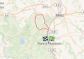
Trail Road bike of 76 km to be discovered at Grand Est, Meurthe-et-Moselle, Pont-à-Mousson. This trail is proposed by PhilippeC54.
Positioning
Country:
France
Region :
Grand Est
Department/Province :
Meurthe-et-Moselle
Municipality :
Pont-à-Mousson
Location:
Unknown
Start:(Dec)
Start:(UTM)
283568 ; 5420455 (32U) N.
Comments