


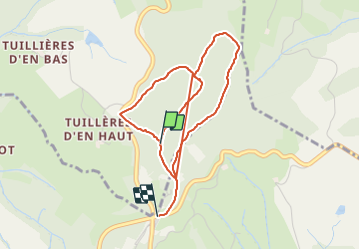

5.3 km | 7.9 km-effort


User


FREE GPS app for hiking
 SityTrail
IGN / Geographical institutes
SityTrail World
The world is yours!
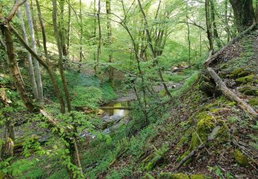
Trail Walking of 4.5 km to be discovered at Auvergne-Rhône-Alpes, Rhône, Échalas. This trail is proposed by FILLEULE.
Monter par la gauche puis prendre par la croix barrée. arrivé à l'antenne tourner à droite pour prolonger la marche qui ira jusqu'à la route.
revenir soit par la grande combe ou revenir par l'antenne jusqu'au bout cette fois

Walking

Walking
Walking
Walking
Walking
Walking

On foot
Walking

Walking