


balade de ruoms

lepompi
User


Length
4.5 km

Max alt
185 m

Uphill gradient
156 m
Km-Effort
6.5 km

Min alt
108 m

Downhill gradient
154 m
Boucle
No
Creation date :
2021-09-07 07:48:05.572
Updated on :
2021-09-07 10:00:32.002
2h12
Difficulty : Medium

FREE GPS app for hiking
 SityTrail
IGN / Geographical institutes
SityTrail Plus
The world is yours!
About
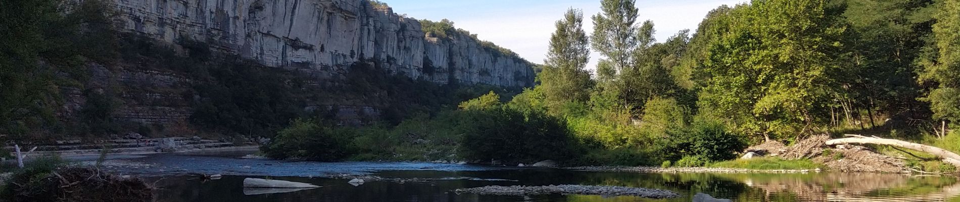
Trail Walking of 4.5 km to be discovered at Auvergne-Rhône-Alpes, Ardèche, Ruoms. This trail is proposed by lepompi.
Description
superbe
Photos


Positioning
Country:
France
Region :
Auvergne-Rhône-Alpes
Department/Province :
Ardèche
Municipality :
Ruoms
Location:
Unknown
Start:(Dec)
Start:(UTM)
607289 ; 4925698 (31T) N.
Comments