


freneuse sur risle

dedejojo
User
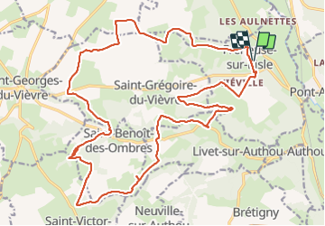

Length
27 km

Max alt
167 m

Uphill gradient
388 m
Km-Effort
32 km

Min alt
51 m

Downhill gradient
388 m
Boucle
Yes
Creation date :
2021-09-12 07:56:51.613
Updated on :
2021-09-12 14:31:07.593
6h32
Difficulty : Very easy

FREE GPS app for hiking
 SityTrail
IGN / Geographical institutes
SityTrail Plus
The world is yours!
About
Trail Walking of 27 km to be discovered at Normandy, Eure, Freneuse-sur-Risle. This trail is proposed by dedejojo.
Positioning
Country:
France
Region :
Normandy
Department/Province :
Eure
Municipality :
Freneuse-sur-Risle
Location:
Unknown
Start:(Dec)
Start:(UTM)
330705 ; 5457961 (31U) N.
Comments