


port de montestaure

petit-pied
User
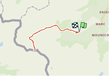

Length
16.5 km

Max alt
2570 m

Uphill gradient
1461 m
Km-Effort
36 km

Min alt
1177 m

Downhill gradient
1463 m
Boucle
Yes
Creation date :
2021-09-12 07:31:15.523
Updated on :
2021-09-12 23:09:49.233
5h04
Difficulty : Very difficult

FREE GPS app for hiking
 SityTrail
IGN / Geographical institutes
SityTrail Plus
The world is yours!
About
Trail Walking of 16.5 km to be discovered at Occitania, Ariège, Auzat. This trail is proposed by petit-pied.
Positioning
Country:
France
Region :
Occitania
Department/Province :
Ariège
Municipality :
Auzat
Location:
Unknown
Start:(Dec)
Start:(UTM)
371012 ; 4729836 (31T) N.
Comments