


Ranpont

lucmarescot
User

Length
24 km

Max alt
885 m

Uphill gradient
854 m
Km-Effort
37 km

Min alt
198 m

Downhill gradient
1128 m
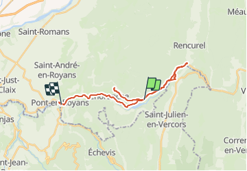
Boucle
No
Creation date :
2021-09-13 14:00:32.0
Updated on :
2021-09-13 15:53:21.684
1h52
Difficulty : Unknown

FREE GPS app for hiking
 SityTrail
IGN / Geographical institutes
SityTrail Plus
The world is yours!
About
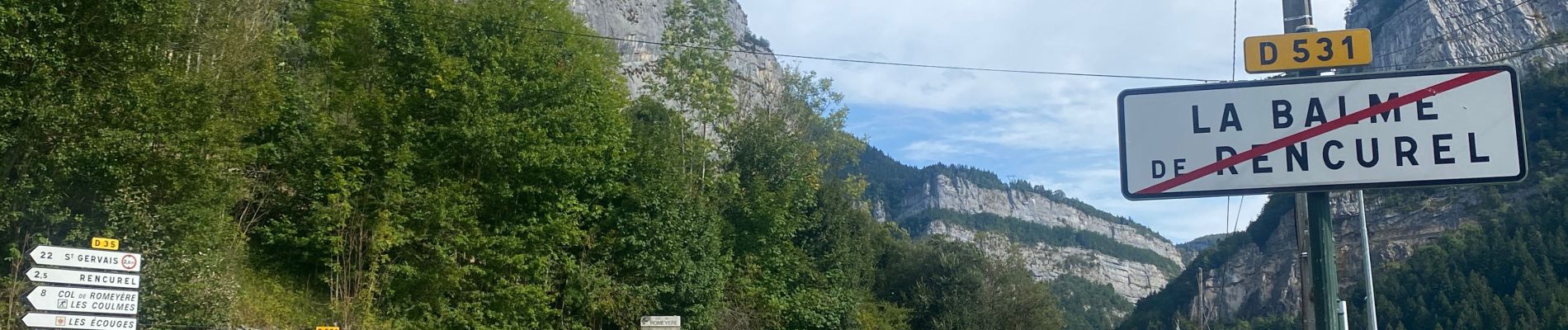
Trail Mountain bike of 24 km to be discovered at Auvergne-Rhône-Alpes, Isère, Choranche. This trail is proposed by lucmarescot.
Photos

Positioning
Country:
France
Region :
Auvergne-Rhône-Alpes
Department/Province :
Isère
Municipality :
Choranche
Location:
Unknown
Start:(Dec)
Start:(UTM)
691086 ; 4992962 (31T) N.
Comments