


La Haye 76 vers la forêt de Lyons

MichelRando7656
User
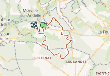

Length
12.4 km

Max alt
189 m

Uphill gradient
207 m
Km-Effort
15.2 km

Min alt
103 m

Downhill gradient
208 m
Boucle
Yes
Creation date :
2021-09-18 11:09:25.533
Updated on :
2021-09-18 14:48:27.833
3h37
Difficulty : Difficult

FREE GPS app for hiking
 SityTrail
IGN / Geographical institutes
SityTrail Plus
The world is yours!
About
Trail Walking of 12.4 km to be discovered at Normandy, Seine-Maritime, La Haye. This trail is proposed by MichelRando7656.
Description
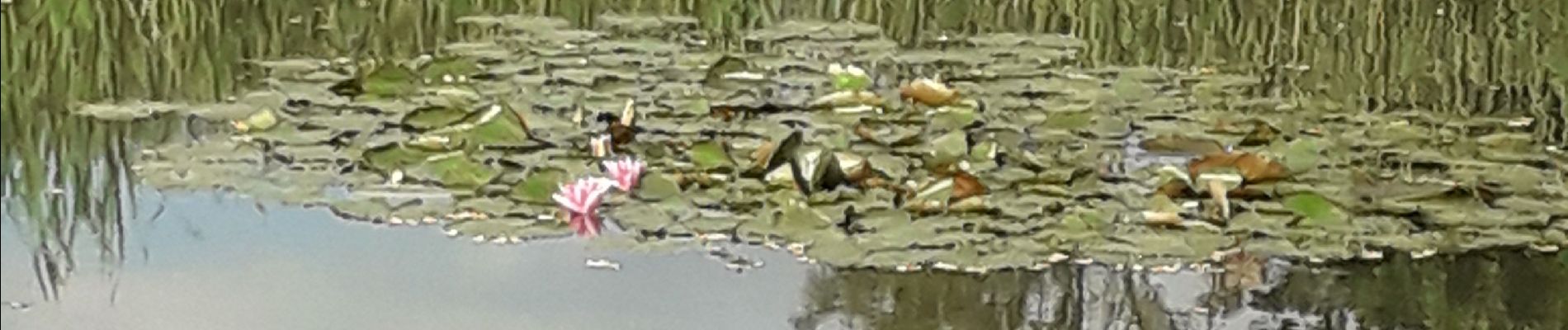
Départ de l'étang aux nénuphars près de l'église.
Photos


Positioning
Country:
France
Region :
Normandy
Department/Province :
Seine-Maritime
Municipality :
La Haye
Location:
Unknown
Start:(Dec)
Start:(UTM)
386933 ; 5480097 (31U) N.
Comments