


Étape 1 Vezelay Domecy sur cure

maginot
User
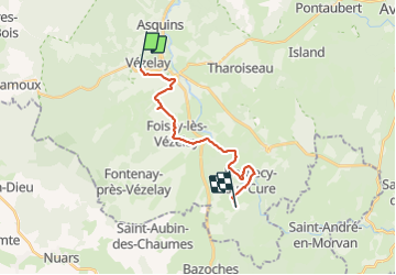

Length
15.3 km

Max alt
269 m

Uphill gradient
356 m
Km-Effort
20 km

Min alt
148 m

Downhill gradient
361 m
Boucle
No
Creation date :
2021-09-20 12:28:01.0
Updated on :
2021-09-20 17:17:00.531
3h55
Difficulty : Medium

FREE GPS app for hiking
 SityTrail
IGN / Geographical institutes
SityTrail Plus
The world is yours!
About
Trail Walking of 15.3 km to be discovered at Bourgogne-Franche-Comté, Yonne, Vézelay. This trail is proposed by maginot.
Description
Départ Vezelay 14h30 arrive 19 h
Départ difficile puis suivi la Cure très jolie
Difficile en fin parcours
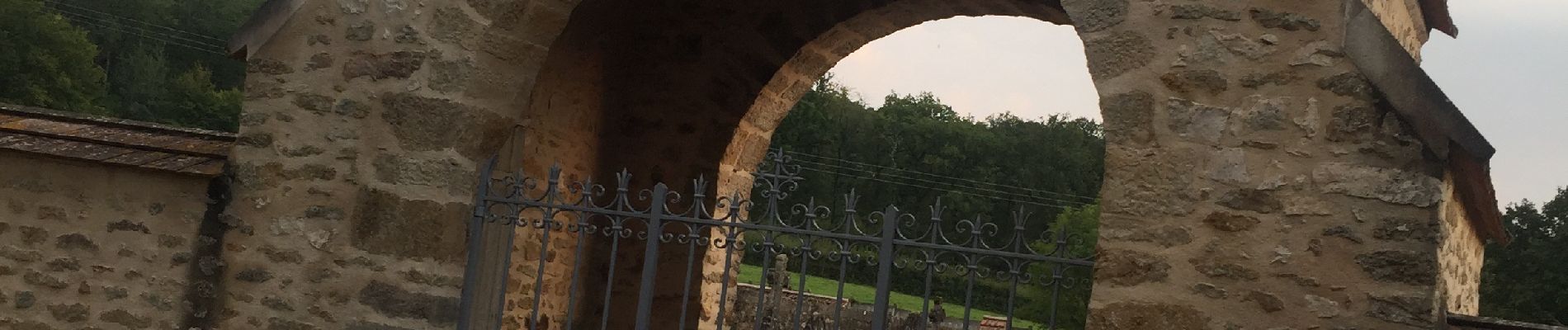
Bivouac point d eau cimetière à Domecy
Photos

Positioning
Country:
France
Region :
Bourgogne-Franche-Comté
Department/Province :
Yonne
Municipality :
Vézelay
Location:
Unknown
Start:(Dec)
Start:(UTM)
555909 ; 5256941 (31T) N.
Comments