


col de l'Osque 2021

c.chehere
User
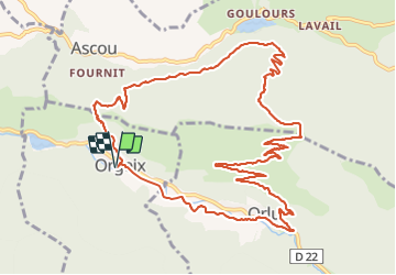

Length
14.8 km

Max alt
1435 m

Uphill gradient
644 m
Km-Effort
23 km

Min alt
821 m

Downhill gradient
644 m
Boucle
Yes
Creation date :
2021-09-21 05:54:36.367
Updated on :
2021-09-21 13:30:03.177
6h05
Difficulty : Medium

FREE GPS app for hiking
 SityTrail
IGN / Geographical institutes
SityTrail Plus
The world is yours!
About
Trail Walking of 14.8 km to be discovered at Occitania, Ariège, Orgeix. This trail is proposed by c.chehere.
Description
Itinéraire décrit dans le topoguide de l'office du tourisme des vallées d'Ax. Très bons sentiers. Entièrement balisé GR et PR.
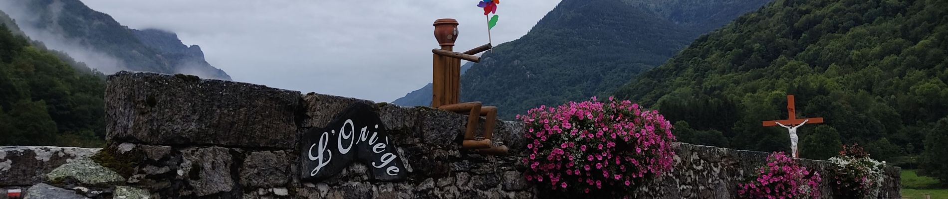
Photos


Positioning
Country:
France
Region :
Occitania
Department/Province :
Ariège
Municipality :
Orgeix
Location:
Unknown
Start:(Dec)
Start:(UTM)
407156 ; 4728935 (31T) N.
Comments