


GrWandArd12: Rahier de groene hoogten tussen Ambleve en Lienne

Peter.vdbergh
User GUIDE
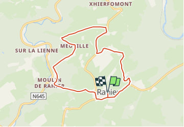

Length
7.5 km

Max alt
387 m

Uphill gradient
184 m
Km-Effort
10 km

Min alt
238 m

Downhill gradient
184 m
Boucle
Yes
Creation date :
2021-09-26 12:46:07.353
Updated on :
2021-09-26 12:50:13.134
2h16
Difficulty : Medium

FREE GPS app for hiking
 SityTrail
IGN / Geographical institutes
SityTrail Plus
The world is yours!
About
Trail On foot of 7.5 km to be discovered at Wallonia, Liège, Stoumont. This trail is proposed by Peter.vdbergh.
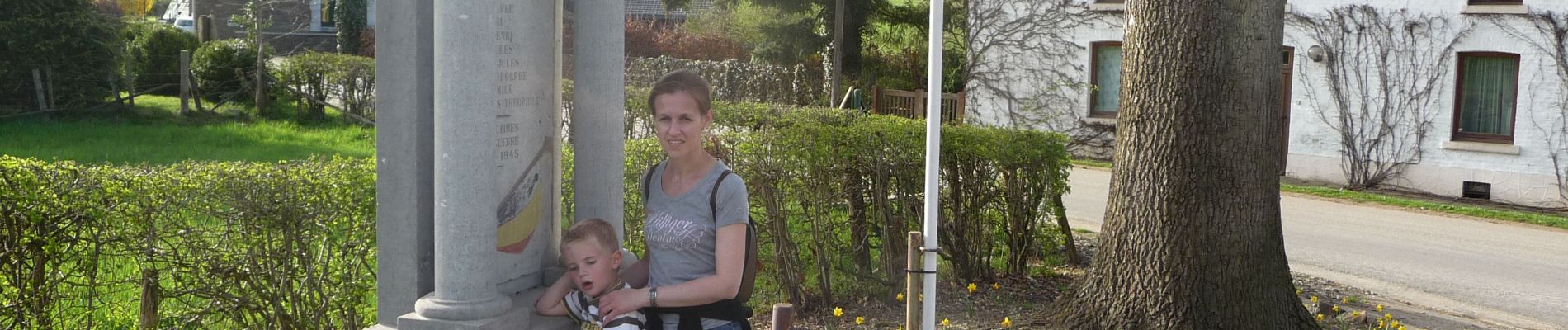
Photos


Positioning
Country:
Belgium
Region :
Wallonia
Department/Province :
Liège
Municipality :
Stoumont
Location:
Unknown
Start:(Dec)
Start:(UTM)
697512 ; 5585210 (31U) N.
Comments