Trail Walking Plainfaing - 20210930_rando_Yol_Roches_de_Valtin - Photo

20210930_rando_Yol_Roches_de_Valtin

 nfranche
nfranche

User

© OpenStreetMap contributors
Length
Length
14.2 km
Max alt
Max alt
1138 m
Uphill gradient
Uphill gradient
762 m
Km-Effort
Km-Effort  
24 km
Min alt
Min alt
700 m
Downhill gradient
Downhill gradient
761 m
Boucle
Boucle
Yes
Creation date :
2021-10-03 15:22:45.967
Updated on :
2021-10-03 15:36:33.465

(0 Reviews)

Walking
Walking
5h32
Difficulty : Very difficult

Scan this QR Code to open this trail in the SityTrail application

FREE GPS app for hiking

Logo SityTrail SityTrail

IGN / Geographical institutes

Download SityTrail from the App Store Download SityTrail from Google Play

Logo SityTrail SityTrail Plus

The world is yours!

Download SityTrail from the App Store Download SityTrail from Google Play Download SityTrail on Huawei AppGallery

About

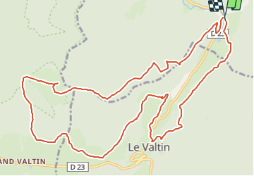
Trail Walking of 14.2 km to be discovered at Grand Est, Vosges, Plainfaing. This trail is proposed by nfranche.

Description

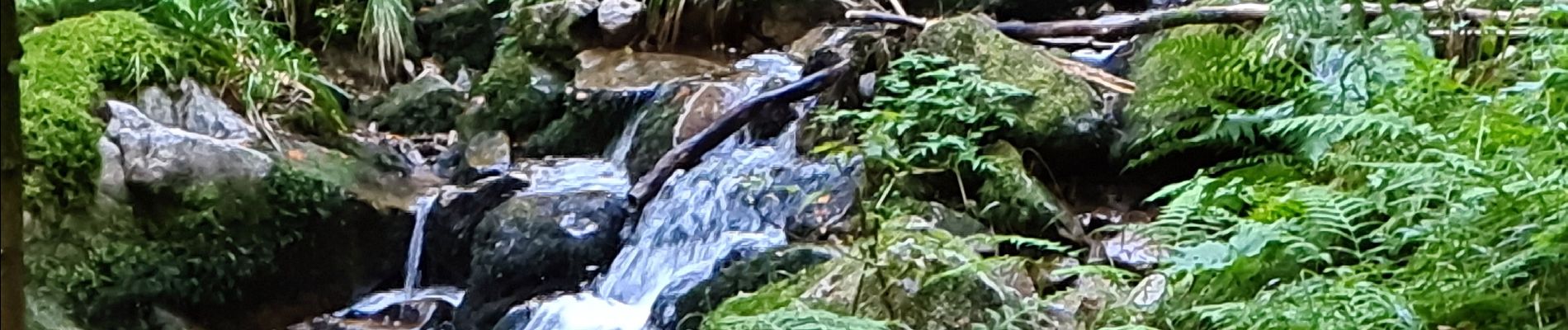
Très belle randonnée au départ du joli site de l'étang du Rudlin. Démarre par une grosse montée longue. De beaux sentiers forestiers, de belles vues notamment sur les roches du Valtin.
Attention quelques passages délicats surtout par temps humide !

Elevation profile

Photos

Positioning

Country:
France
Region :
Grand Est
Department/Province :
Vosges
Municipality :
Plainfaing
Location:
Unknown
Start:(UTM)
354282 ; 5331410 (32U) N.


Close
My subscriptions