


Rando St Laurent sur Sèvres 15km

jeanmarcMasson
User GUIDE
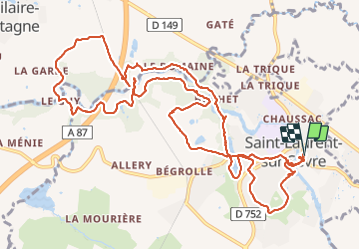

Length
15.4 km

Max alt
161 m

Uphill gradient
273 m
Km-Effort
19.1 km

Min alt
97 m

Downhill gradient
274 m
Boucle
Yes
Creation date :
2021-10-03 09:10:09.713
Updated on :
2021-10-03 15:27:34.676
4h14
Difficulty : Very difficult

FREE GPS app for hiking
 SityTrail
IGN / Geographical institutes
SityTrail Plus
The world is yours!
About
Trail Walking of 15.4 km to be discovered at Pays de la Loire, Vendée, Saint-Laurent-sur-Sèvre. This trail is proposed by jeanmarcMasson.
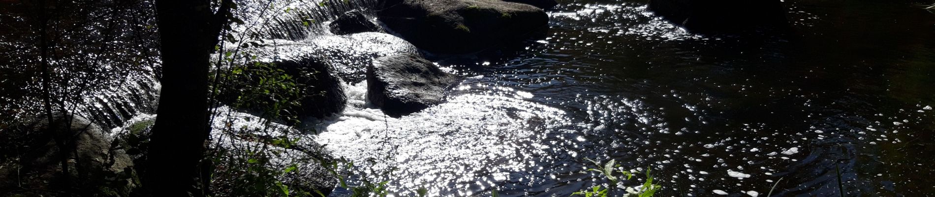
Photos


Positioning
Country:
France
Region :
Pays de la Loire
Department/Province :
Vendée
Municipality :
Saint-Laurent-sur-Sèvre
Location:
Unknown
Start:(Dec)
Start:(UTM)
660766 ; 5202828 (30T) N.
Comments