


Marsanne

raygautier
User
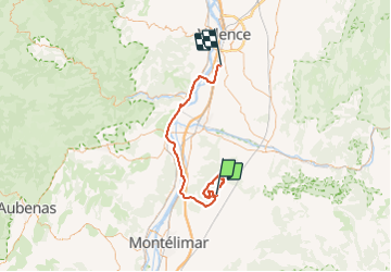

Length
68 km

Max alt
596 m

Uphill gradient
955 m
Km-Effort
81 km

Min alt
79 m

Downhill gradient
1162 m
Boucle
No
Creation date :
2021-10-03 06:44:35.0
Updated on :
2021-10-03 16:01:38.478
9h15
Difficulty : Very difficult

FREE GPS app for hiking
 SityTrail
IGN / Geographical institutes
SityTrail Plus
The world is yours!
About
Trail Walking of 68 km to be discovered at Auvergne-Rhône-Alpes, Drôme, Marsanne. This trail is proposed by raygautier.
Positioning
Country:
France
Region :
Auvergne-Rhône-Alpes
Department/Province :
Drôme
Municipality :
Marsanne
Location:
Unknown
Start:(Dec)
Start:(UTM)
648549 ; 4945388 (31T) N.
Comments