


Rando Clisson 16km

jeanmarcMasson
User GUIDE

Length
16.7 km

Max alt
66 m

Uphill gradient
204 m
Km-Effort
19.4 km

Min alt
13 m

Downhill gradient
204 m
Boucle
Yes
Creation date :
2021-10-05 08:53:50.704
Updated on :
2021-10-05 15:10:33.246
4h29
Difficulty : Very difficult

FREE GPS app for hiking
 SityTrail
IGN / Geographical institutes
SityTrail Plus
The world is yours!
About
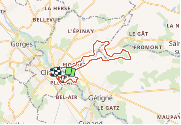
Trail Walking of 16.7 km to be discovered at Pays de la Loire, Loire-Atlantique, Clisson. This trail is proposed by jeanmarcMasson.
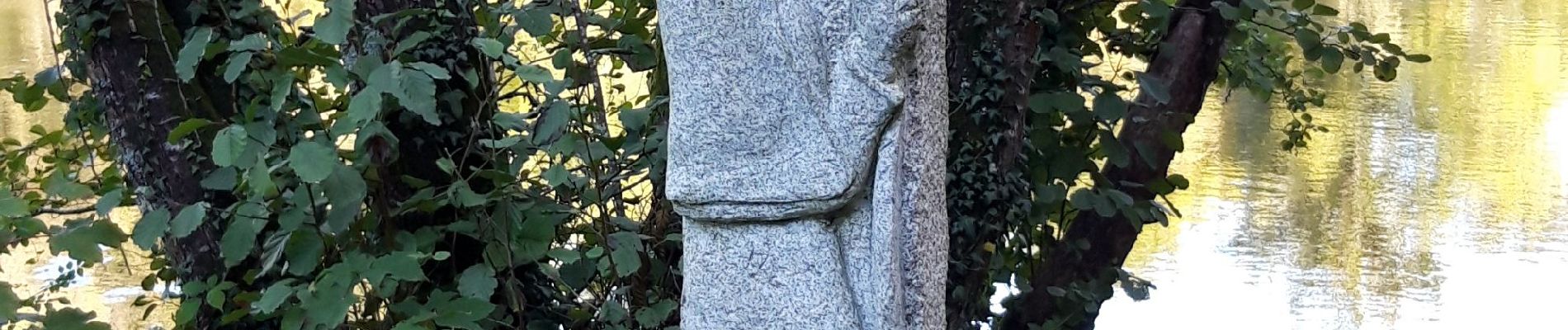
Photos


Positioning
Country:
France
Region :
Pays de la Loire
Department/Province :
Loire-Atlantique
Municipality :
Clisson
Location:
Unknown
Start:(Dec)
Start:(UTM)
631049 ; 5215823 (30T) N.
Comments