


unac

c.chehere
User
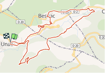

Length
7.6 km

Max alt
865 m

Uphill gradient
231 m
Km-Effort
10.7 km

Min alt
679 m

Downhill gradient
226 m
Boucle
Yes
Creation date :
2021-10-06 08:45:35.687
Updated on :
2021-10-06 12:04:31.425
3h18
Difficulty : Easy

FREE GPS app for hiking
 SityTrail
IGN / Geographical institutes
SityTrail Plus
The world is yours!
About
Trail Walking of 7.6 km to be discovered at Occitania, Ariège, Unac. This trail is proposed by c.chehere.
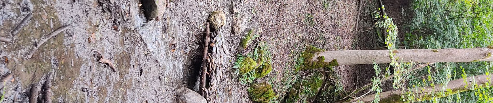
Photos


Positioning
Country:
France
Region :
Occitania
Department/Province :
Ariège
Municipality :
Unac
Location:
Unknown
Start:(Dec)
Start:(UTM)
399829 ; 4735052 (31T) N.
Comments