


Meerfelder Maar en Waldsbornkratersee (PVDB )

Peter.vdbergh
User GUIDE
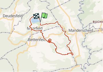

Length
15.9 km

Max alt
490 m

Uphill gradient
386 m
Km-Effort
21 km

Min alt
295 m

Downhill gradient
387 m
Boucle
Yes
Creation date :
2021-10-10 09:02:18.0
Updated on :
2022-05-01 10:12:56.369
4h16
Difficulty : Medium

FREE GPS app for hiking
 SityTrail
IGN / Geographical institutes
SityTrail Plus
The world is yours!
About
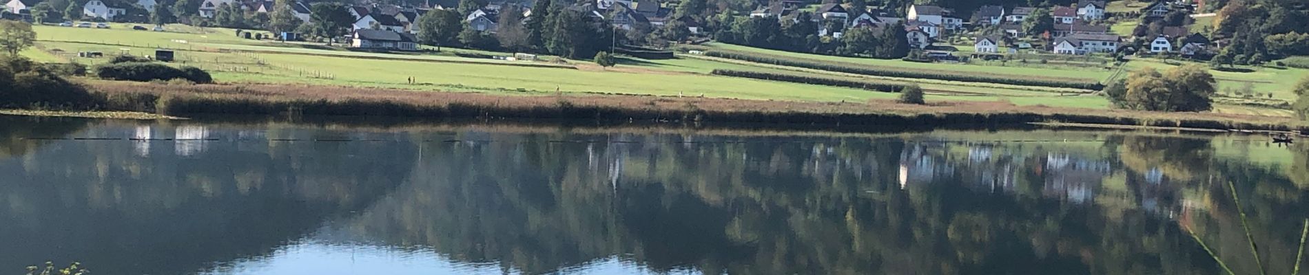
Trail Walking of 15.9 km to be discovered at Rhineland-Palatinate, Landkreis Bernkastel-Wittlich, Meerfeld. This trail is proposed by Peter.vdbergh.
Photos
 - Photo 1")
 - Photo 2")
 - Photo 3")
 - Photo 4")
 - Photo 5")
 - Photo 6")
 - Photo 7")
 - Photo 8")
 - Photo 9")
 - Photo 10")
 - Photo 11")
 - Photo 12")
 - Photo 13")
 - Photo 14")
 - Photo 15")
 - Photo 16")
 - Photo 17")
 - Photo 18")
 - Photo 19")
 - Photo 20")
 - Photo 21")
21 photos in total. Please click on a photo to see them all in the gallery.
Positioning
Country:
Germany
Region :
Rhineland-Palatinate
Department/Province :
Landkreis Bernkastel-Wittlich
Municipality :
Meerfeld
Location:
Unknown
Start:(Dec)
Start:(UTM)
340115 ; 5552043 (32U) N.
Comments