


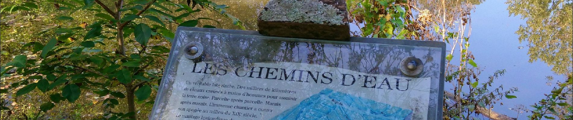
St Hilaire, Arçais Venise verte

Gegetop
User
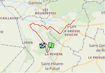

Length
19.8 km

Max alt
12 m

Uphill gradient
93 m
Km-Effort
21 km

Min alt
1 m

Downhill gradient
94 m
Boucle
Yes
Creation date :
2021-10-12 08:33:42.255
Updated on :
2021-10-12 12:55:56.211
3h54
Difficulty : Easy

FREE GPS app for hiking
 SityTrail
IGN / Geographical institutes
SityTrail Plus
The world is yours!
About
Trail Walking of 19.8 km to be discovered at New Aquitaine, Deux-Sèvres, Saint-Hilaire-la-Palud. This trail is proposed by Gegetop.
Description
Aucune difficulté à faire en famille.
Le calme assuré.
Photos


Positioning
Country:
France
Region :
New Aquitaine
Department/Province :
Deux-Sèvres
Municipality :
Saint-Hilaire-la-Palud
Location:
Unknown
Start:(Dec)
Start:(UTM)
675690 ; 5127227 (30T) N.
Comments