


20211012-St Aubin Celloville

doudet
User
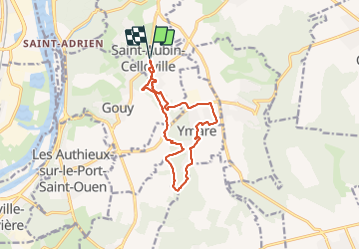

Length
11.3 km

Max alt
146 m

Uphill gradient
172 m
Km-Effort
13.6 km

Min alt
83 m

Downhill gradient
172 m
Boucle
Yes
Creation date :
2021-10-12 11:56:55.628
Updated on :
2021-10-13 06:28:35.524
3h14
Difficulty : Medium

FREE GPS app for hiking
 SityTrail
IGN / Geographical institutes
SityTrail Plus
The world is yours!
About
Trail Walking of 11.3 km to be discovered at Normandy, Seine-Maritime, Saint-Aubin-Celloville. This trail is proposed by doudet.
Description
Boucle A-R au départ de l'Eglise
Photos


Positioning
Country:
France
Region :
Normandy
Department/Province :
Seine-Maritime
Municipality :
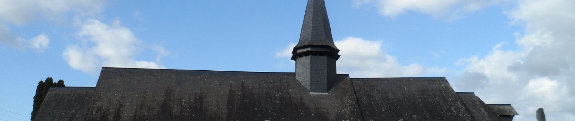
Saint-Aubin-Celloville
Location:
Unknown
Start:(Dec)
Start:(UTM)
366334 ; 5469731 (31U) N.
Comments