


Apremont assez sportif

domifon
User

Length
40 km

Max alt
153 m

Uphill gradient
461 m
Km-Effort
46 km

Min alt
61 m

Downhill gradient
461 m
Boucle
Yes
Creation date :
2021-10-16 12:35:55.0
Updated on :
2021-10-16 15:15:56.515
2h38
Difficulty : Difficult

FREE GPS app for hiking
 SityTrail
IGN / Geographical institutes
SityTrail Plus
The world is yours!
About
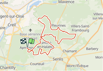
Trail Mountain bike of 40 km to be discovered at Hauts-de-France, Oise, Apremont. This trail is proposed by domifon.
Positioning
Country:
France
Region :
Hauts-de-France
Department/Province :
Oise
Municipality :
Apremont
Location:
Unknown
Start:(Dec)
Start:(UTM)
464419 ; 5452566 (31U) N.
Comments