


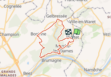

12.9 km | 15.8 km-effort

User GUIDE


FREE GPS app for hiking
 SityTrail
IGN / Geographical institutes
SityTrail World
The world is yours!
Trail Walking of 14.2 km to be discovered at Wallonia, Namur, Namur. This trail is proposed by mumu.larandonneuse.
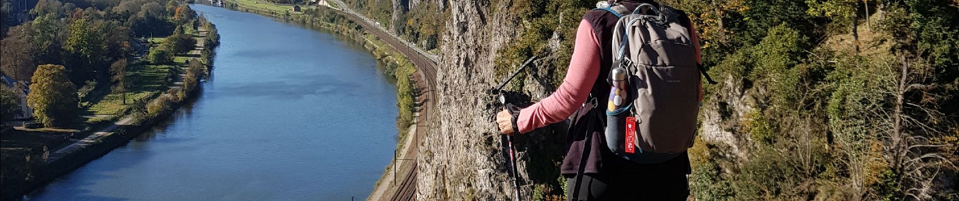
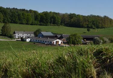
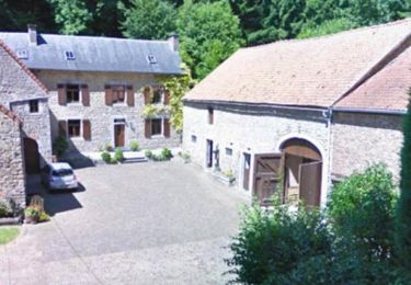
A l'est de la ville de Namur se trouve le village de Wartet. Au-dessus de la Meuse se dresse l'énorme rocher rectiligne de Marche-les-Dames. Au cours de cette promenade aventureuse et difficile, vous marcherez dessus avec de belles vues sur la Meuse. Vous marchez d'abord, en montant et en descendant, à travers bois jusqu'au village de Gelbressée, avec de belles ruelles. Vous montez jusqu'au village de Boninne par un chemin herbeux longeant les champs de maïs. Vous pouvez marcher jusqu'au premier belvédère sur le rocher par de jolis sentiers forestiers. Après un tronçon à travers la forêt, vous arriverez à 4 points de vue, tous plus beaux les uns que les autres. Puis vous descendez à travers la forêt jusqu'à l'Abbaye de Marche-les-Dames où vous pourrez visiter le jardin de l'abbaye. Il y a aussi une belle terrasse. Vous montez jusqu'au village de Bayet et vous passez devant l'ancien château Château de Ferme Wartet. L'itinéraire comprend une descente et une montée le long d'une corde, mais c'est bien pour le randonneur moyen.
ℹ & Gpx pris sur www.wandelgidszuidlimburg.com n°1499.


Walking

Walking

Walking

Walking

Walking

Walking

Walking

Walking
Walking
Très beau parcours. Descente impressionnante avec corde !