


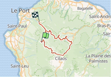
Grand Place les Hauts - Dos d'Ane - île de la réunion J9

sandra_leb
User

Length
99 km

Max alt
2508 m

Uphill gradient
7389 m
Km-Effort
202 km

Min alt
252 m

Downhill gradient
8616 m
Boucle
No
Creation date :
2021-10-23 11:03:38.14
Updated on :
2021-10-23 11:11:06.985
45h54
Difficulty : Very difficult

FREE GPS app for hiking
 SityTrail
IGN / Geographical institutes
SityTrail Plus
The world is yours!
About
Trail Walking of 99 km to be discovered at Réunion, Unknown, Saint-Paul. This trail is proposed by sandra_leb.
Positioning
Country:
France
Region :
Réunion
Department/Province :
Unknown
Municipality :
Saint-Paul
Location:
Unknown
Start:(Dec)
Start:(UTM)
332250 ; 7669366 (40K) S.
Comments