


Mompagnote

jjhervin
User
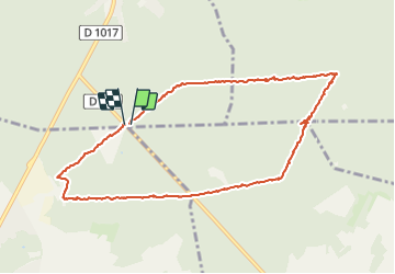

Length
9 km

Max alt
220 m

Uphill gradient
158 m
Km-Effort
11.1 km

Min alt
101 m

Downhill gradient
160 m
Boucle
Yes
Creation date :
2021-10-24 07:43:11.0
Updated on :
2021-10-24 10:14:20.415
2h00
Difficulty : Medium

FREE GPS app for hiking
 SityTrail
IGN / Geographical institutes
SityTrail Plus
The world is yours!
About
Trail Nordic walking of 9 km to be discovered at Hauts-de-France, Oise, Pont-Sainte-Maxence. This trail is proposed by jjhervin.
Positioning
Country:
France
Region :
Hauts-de-France
Department/Province :
Oise
Municipality :
Pont-Sainte-Maxence
Location:
Unknown
Start:(Dec)
Start:(UTM)
471451 ; 5458404 (31U) N.
Comments