


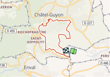
Chalusset

Gegetop
User

Length
7.8 km

Max alt
495 m

Uphill gradient
190 m
Km-Effort
10.3 km

Min alt
404 m

Downhill gradient
192 m
Boucle
Yes
Creation date :
2021-10-26 11:54:12.253
Updated on :
2021-10-26 13:45:48.086
2h00
Difficulty : Medium
1h47
Difficulty : Easy

FREE GPS app for hiking
 SityTrail
IGN / Geographical institutes
SityTrail Plus
The world is yours!
About
Trail Walking of 7.8 km to be discovered at Auvergne-Rhône-Alpes, Puy-de-Dôme, Enval. This trail is proposed by Gegetop.
Description
Boucle
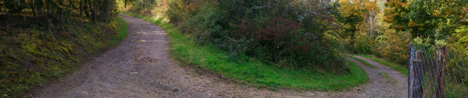
Photos

Positioning
Country:
France
Region :
Auvergne-Rhône-Alpes
Department/Province :
Puy-de-Dôme
Municipality :
Enval
Location:
Unknown
Start:(Dec)
Start:(UTM)
505630 ; 5083340 (31T) N.
Comments