


le tuny par le plan d'aups

Coryphene
User
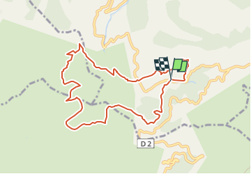

Length
10.1 km

Max alt
687 m

Uphill gradient
401 m
Km-Effort
15.5 km

Min alt
461 m

Downhill gradient
412 m
Boucle
Yes
Creation date :
2021-11-01 17:42:21.566
Updated on :
2022-05-19 15:06:04.013
6h40
Difficulty : Medium

FREE GPS app for hiking
 SityTrail
IGN / Geographical institutes
SityTrail Plus
The world is yours!
About
Trail On foot of 10.1 km to be discovered at Provence-Alpes-Côte d'Azur, Bouches-du-Rhône, Auriol. This trail is proposed by Coryphene.
Description
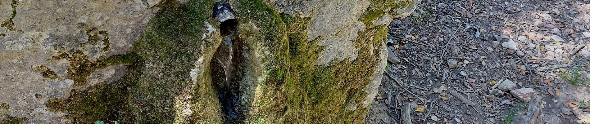
une super rando avec un paysage sublime
Photos


Positioning
Country:
France
Region :
Provence-Alpes-Côte d'Azur
Department/Province :
Bouches-du-Rhône
Municipality :
Auriol
Location:
Unknown
Start:(Dec)
Start:(UTM)
716180 ; 4800625 (31T) N.
Comments