


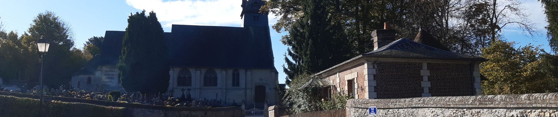
saint Martin de bienfaite la cressonnière

werth
User
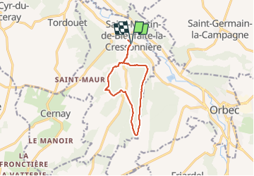

Length
9.6 km

Max alt
186 m

Uphill gradient
194 m
Km-Effort
12.2 km

Min alt
97 m

Downhill gradient
196 m
Boucle
Yes
Creation date :
2021-11-02 08:15:14.151
Updated on :
2021-11-02 11:48:49.853
2h52
Difficulty : Medium

FREE GPS app for hiking
 SityTrail
IGN / Geographical institutes
SityTrail Plus
The world is yours!
About
Trail Walking of 9.6 km to be discovered at Normandy, Calvados, Saint-Martin-de-Bienfaite-la-Cressonnière. This trail is proposed by werth.
Description
très joli parcours
Photos


Positioning
Country:
France
Region :
Normandy
Department/Province :
Calvados
Municipality :
Saint-Martin-de-Bienfaite-la-Cressonnière
Location:
Unknown
Start:(Dec)
Start:(UTM)
307246 ; 5435626 (31U) N.
Comments