


saint pierre 2_11_21

arnoultjf
User
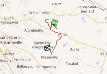

Length
15.8 km

Max alt
251 m

Uphill gradient
270 m
Km-Effort
19.5 km

Min alt
161 m

Downhill gradient
291 m
Boucle
No
Creation date :
2021-11-02 12:51:13.497
Updated on :
2021-11-02 15:16:29.983
2h23
Difficulty : Very difficult

FREE GPS app for hiking
 SityTrail
IGN / Geographical institutes
SityTrail Plus
The world is yours!
About
Trail Walking of 15.8 km to be discovered at Occitania, Haute-Garonne, Saint-Pierre-de-Lages. This trail is proposed by arnoultjf.
Photos


Positioning
Country:
France
Region :
Occitania
Department/Province :
Haute-Garonne
Municipality :
Saint-Pierre-de-Lages
Location:
Unknown
Start:(Dec)
Start:(UTM)
389182 ; 4824967 (31T) N.
Comments