


Saint-Jean-des-Vignes - De Saint-Jean à Pierre Folle

Sigmut
User
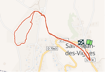

Length
3.3 km

Max alt
380 m

Uphill gradient
62 m
Km-Effort
4.2 km

Min alt
332 m

Downhill gradient
62 m
Boucle
Yes
Creation date :
2021-11-11 10:37:17.392
Updated on :
2023-01-21 22:40:20.564
1h19
Difficulty : Easy

FREE GPS app for hiking
 SityTrail
IGN / Geographical institutes
SityTrail Plus
The world is yours!
About
Trail Walking of 3.3 km to be discovered at Auvergne-Rhône-Alpes, Rhône, Saint-Jean-des-Vignes. This trail is proposed by Sigmut.
Description
Petite Rando agréable avec des enfants
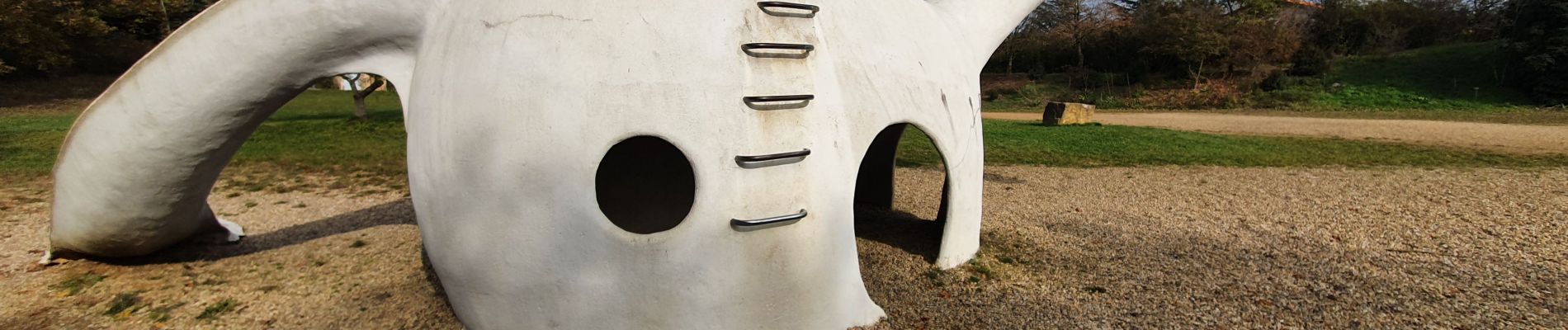
Photos


29 photos in total. Please click on a photo to see them all in the gallery.
Positioning
Country:
France
Region :
Auvergne-Rhône-Alpes
Department/Province :
Rhône
Municipality :
Saint-Jean-des-Vignes
Location:
Unknown
Start:(Dec)
Start:(UTM)
630694 ; 5081545 (31T) N.
Comments