


Panpraz-lac Cornu-lac Noir

geranimo
User
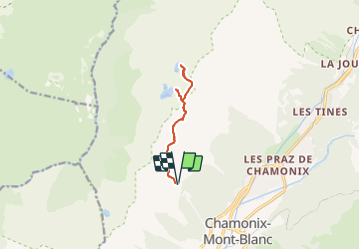

Length
9.2 km

Max alt
2555 m

Uphill gradient
676 m
Km-Effort
18.2 km

Min alt
2009 m

Downhill gradient
678 m
Boucle
Yes
Creation date :
2021-11-11 17:43:43.798
Updated on :
2022-04-10 17:17:37.766
4h08
Difficulty : Medium

FREE GPS app for hiking
 SityTrail
IGN / Geographical institutes
SityTrail Plus
The world is yours!
About
Trail Walking of 9.2 km to be discovered at Auvergne-Rhône-Alpes, Upper Savoy, Chamonix-Mont-Blanc. This trail is proposed by geranimo.
Positioning
Country:
France
Region :
Auvergne-Rhône-Alpes
Department/Province :
Upper Savoy
Municipality :
Chamonix-Mont-Blanc
Location:
Unknown
Start:(Dec)
Start:(UTM)
333519 ; 5089178 (32T) N.
Comments